Detailed water balance
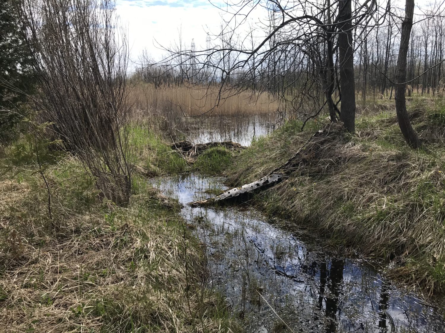
Geofirma was retained to calculate a detailed water balance of a small marsh, to evaluate any impacts proposed construction may have on the marsh. Initial field data collected included a surface water assessment, vegetation survey, and a high resolution LiDAR survey. Over the course of one year, continuous meteorological data, flow data from weirs installed at key locations, and water level data in the marsh were also collected. The contributing catchment area for the marsh has a very flat topography, resulting in complex and variable surface water flow patterns. Continuous data collection and site-specific precipitation data was essential to understanding seasonal flow patterns at the site, where flows were often too low to be measured. Integrating this collected field data with existing site data, detailed models were developed to evaluate the hydrologic cycle at the site, and determine the quantity of water reaching the marsh.
Model calculations were successfully verified by comparison to measured flow data and water levels in the marsh. As the marsh was elevation controlled, with large inputs occurring during spring and fall, reduced flows into the marsh resulting from construction activities were determined to be insufficient to affect seasonal water levels in the marsh.

© Copyright – Geofirma Engineering Ltd. | 200-1 Raymond St., Ottawa, ON K1R 1A2
